 Search for Flights
 Search for Hotels
 Check Exchange Rates
 Check the Weather
Osaka
+12
°
C
High:+15
Low:+4
Rain

Yoshitaki Falls
Last update
【Description】
These 30-meter falls drop from an andesite cliff on the upper reaches of the Yada River. The falls are also known as Urami-no-taki (meaning "look-from-behind waterfall") because the water jets far enough out from the top that you can see the backside as it drops. The path up to Yoshitaki Falls features basalt above the rice paddies that fractured due to landslides. At the bottom the scarp you can get a great view of Shimaji Pond down below.
Photos

Information
- Postal Code
- 667-1501
- Address
- Kusube 284, Ojiro Ward, Kami Town, Mikata County, Hyogo Prefecture
- Tel
- Kami Town Ojiro Tourism Association 0796-97-2250
This basic information is current at the time of publication and is subject to change.
Please check the official website for the latest information.
Map
Nearby Spots

Kusube River Valley (Kaname-no-taki Falls, Sandantaki Falls)
1.38 km
Nukida Rice Terrace on Mt. Uhe
1.76 km
Mikata Highland
3.22 kmCheck also...

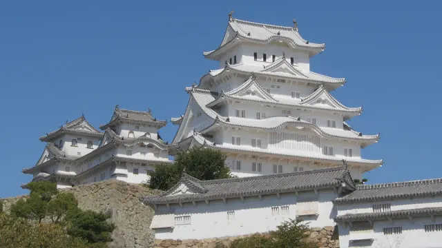
Trip to World Heritage Site Himeji Castle and Mt. Shoshazan Engyo-ji Temple (2-day/1-night trip, Himeji City, Hyogo Prefecture)

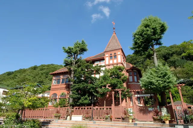
A city tour to experience exotic culture and history (Kitano Ijinkan-gai, Kobe City)

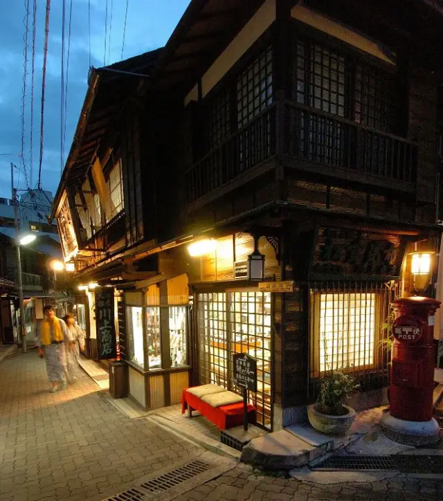
Historical Exploration in Arima, City of Hot Springs (Kobe, Hyogo Prefecture)

